1. GEOGRAPHICAL LOCATION
Quang Trung is located to the north of Thong Nhat
district’s center and is 10 kilometers from the district center, and 45
kilometers from Bien Hoa city. It has a natural land area of 3,648 ha,
accounting for 16.58% of its total land area.
+ Quang Trung borders Gia Kiem commune in Thong Nhat
district, Dong Nai province to the north;
+ Quang Trung borders Bau Ham 2 commune in Thong
Nhat district, Dong Nai province to the south;
+ Quang Trung borders Bau Ham commune in Trang Bom
district, Dong Nai province to the west;
+ Quang Trung borders Xuan Thien and Xuan Thanh
communes in Thong Nhat district, Dong Nai province to the east.
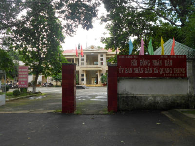
2. ADMINISTRATIVE UNIT
At present, to facilitate management tasks Quang
Trung commune is divided into 7 hamlets.
3. TERRAIN
Quang Trung has a mountainous terrain, which makes
it difficult for industrial development.
4. CLIMATE
Quang Trung is located in a tropical climate with 2
seasons. The rainy season starts from May to October and the dry season is from
November to April next year. The average temperature is from 25-26 Celsius
degrees, with the highest temperature of 34.5 degrees and the lowest temperature
of 20.5 degrees. In addition, rainfall reaches 2,000 - 2,100 mm per year and
humidity of 80 - 85%.
5. HISTORY OF CULTURE
Quang Trung was established in 1983.
6. POPULATION
Quang Trung’s total population: 5,472 people, and
23,710 households.
The majority of locals are Kinh people, but besides
other ethnic groups account for 0.15%, and Chinese-Vietnamese ethnic groups
account for 0.05%.
Religion: Catholic account for 93.2% and Buddhists
3.3%, non-religious 3.5%.