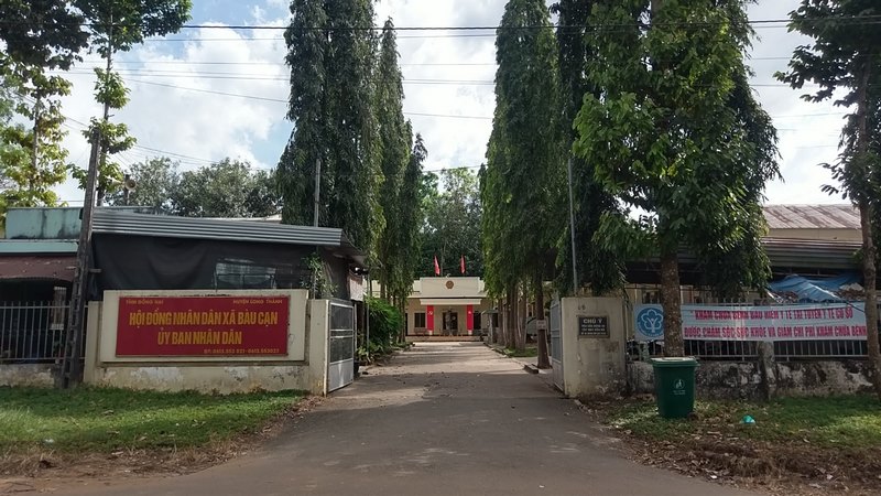
1. Geographic location
Located 15 km northeastern of
Long Thanh district center, with a total area: 4478.72 ha.
Natural land area: 4478.72 ha.
- Its north borders the Long
Thanh International Airport project.
- Its south borders Tan Hiep
commune.
- Its west borders Long Phuoc
commune.
- Its east borders Cu Bi commune
(Chau Duc district, Ba Ria Vung Tau province).
2. Administrative units
Bau Can commune is divided into 9
hamlets including: Hamlet 1, 2, 3, 4, 5, 6, 7, 8 and Su Suoi Ca hamlet.

3. Topography
The commune’s terrains are
characterized by relatively flat plains, divided into 2 types: flat terrains
making up about 80 percent of the total area and lightly hilly, wavy terrains.
Average slope: 30-50.
Relative altitude: 40 m.
Absolute altitude: 70 m.
4. Climate
The commune is located in a
subequatorial climate with 2 seasons.
The dry season starts from
November to April next year.
Average temperature: 26 0C.
Annual rainfall: 2,000 mm
Humidity: 78 percent
Average temperature:26 0C
Highest temperature: 29 0C
Lowest temperature: 25 0C.
5. Culture and history
Time of establishment: 1976
Historical relics of the commune:
none
The victories of local people:
none
6. Population
Total population: 17,161 people
Number of households: 4,266
families
Ethnic groups: Vietnamese, Thai,
Muong, Tay, Nung, Stieng, Chinese, and San Chi
Religions: Christianity,
Buddhism, Protestantism.