1. Geographical location compared to the
district’s center:
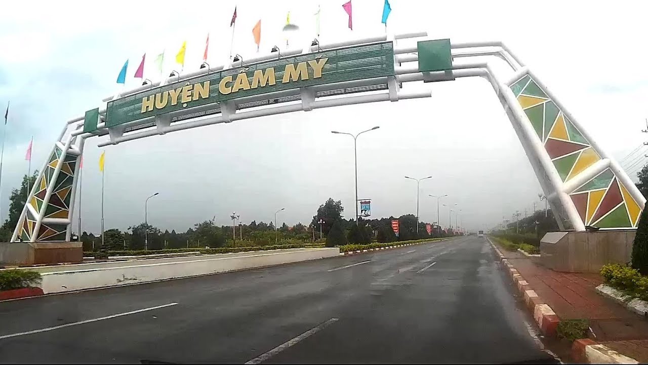
Xuan My commune is located in the south of the
center of Cam My district and is 5 km from the district’s center and it has a
total area of 2740.55 ha.

Natural area
The natural land area is 2740.55 ha, accounting for
5.85% of the district’s area.
Xuan My borders on Long Giao and Bao Binh communes,
Cam My district, Dong Nai province to the north.
Xuan My borders on Xa Bang commune, Chau Duc
district, Ba Ria - Vung Tau province to the south.
Xuan My borders on Cu Be commune, Chau Duc district,
Ba Ria - Vung Tau province to the west.
Xuan My borders on Song Ray and Xuan Tay communes,
Cam My district, Dong Nai province to the east.
2. Administrative units:
Xuan My is divided into 4 hamlets: Cam Son, Lang
Lon, Suoi Soc and Dong Tam.

3. Terrain:
The commune has a gently wavy hilly terrain and
relatively flat land strips of earths.
The average slope is from 3 to 8 degrees.
4. Climate:
Xuan My commune is located in the equatorial
tropical climate with 2 seasons.
The rainy season is from May to November, and the
dry season is from December to April next year.
The average rainfall is from 1,956 to 2,139 mm per
year.
The average temperature is 25.4 Celsius degrees.
The highest temperature is 32 Celsius degrees.
The lowest temperature is 18.8 Celsius degrees.
5. Population
Total population: 2,824 people.
The total number of households: 12,169.
Ethnic minority groups: Cho ro, Khmer, Chinese
Vietnamese, Muong, Cham, Tay, Nung, Ma, Cao Lan, and Raglai.
Religions: Buddhism, Catholicism, Protestantism,
Caodaism and Hoa Hao.