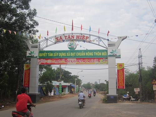
1. Geographic
location
Tan Hiep is located in the
southeast of the center of Long Thanh district, 15km from the district center,
and 48 km from Bien Hoa. The commune has total natural land of 3153.7 ha,
occupying a quite large area of the district, very convenient for development
and economic exchange in the region. Tan Hiep commune is surrounded by other
communes, with administrative boundaries as follows:
- Bordering Bau Can commune (Long
Thanh district of Dong Nai province) in the north;
- Bordering Phuoc Binh commune
(Long Thanh district, Dong Nai province) in the south;
- Bordering Phuoc Thai commune
(Long Thanh district, Dong Nai province) in the west;
- Bordering Phuoc Binh commune
(Long Thanh district, Dong Nai province) in the east.
2.
Administrative units
Tan Hiep commune is divided into
9 parts including 6 hamlets and 3 zones.
3. Topography
Most of the commune has similar
terrains to its neighboring areas, with flat topography, mainly mountainous,
slightly separated terrains, and lower from east to west tendency.
Average slope: less than 80;
Relative altitude: 40 m;
Absolute altitude: 55 m;
With its terrain types, Tan Hiep
has great potential to develop the agriculture toward specializing in commodity
production.

4. Climate
Tan Hiep commune is located in
the sub-equatorial tropical climate with two distinct seasons: rainy season and
dry season, of which the rainy season lasts from May to October. Due to less
influence of the northern monsoon, the commune has an average temperature of 26
0C, and the fluctuation in temperature is not much, with the highest temperature
of 28 0C and the lowest temperature of 24 0C, so the commune has a relatively
high humidity of 83 percent; with such a stable climate, it will have little
impacts on people’s life and the economy.
5. Population
The commune has a total
population of 9,236 people, including 1,600 households, with most residents from
different ethnic groups, including 6 ethnic groups:
- Vietnamese people
- Chinese people
- Khmer people
- Stieng people
- Nung people
- Muong people
Although there are differences in
ethnicities as well as beliefs they have lived in harmony with each other. In
particular there are 4 religions in the commune.
- The majority is Christianity
with 543 households including 2633 followers.
- Protestantism is second with
224 households including 732 followers.
- There are 136 households of
Buddhists with 450 followers.
- Caodaism is less popular, with
9 households and 20 followers.