Geographical position compared with the
district’s center

The commune is located in the southwest of Cam My
district’s center and 10 km from the district center’s with a total area of
3,038.27 ha
Natural land area:
The natural land area is 3,038.27 ha, accounting for
6.48% of the total land area of the district.
Thua Duc borders on Song Nhan and Xuan Que communes,
Cam My district, and Dong Nai province to the north
Thua Duc borders Lang Lon commune (Chau Duc
district, Ba Ria - Vung Tau province) and Bau Can commune (Long Thanh district,
Dong Nai province) to the south.
Thua Duc borders on Cam Duong, Suoi Trau and Bau Can
communes, Long Thanh district of Dong Nai province to the west.
Thua Duc borders on Xuan Duong commune, Cam My
district, Dong Nai province to the east.
Administrative units:

Thua Duc commune is divided into 4 hamlets: 3, 4, 8
and Tu Tuc.
Terrain:
The commune’s terrain is flat.
The commune has natural land area of 3,838.27 ha,
agricultural land area of 2,363.99 ha, accounting for 61.6% of the total area of
the commune with red basalt soil accounting for 43.87% and black soil
accounting for 53.23%.
Climate:
The commune is located in a region with climatic
conditions divided into two different seasons: rainy and sunny with a relatively
high humidity of 83-84%, which is favorable for agricultural production.
Culture and history:
In September 1994, the commune was separated from
Xuan Duong commune.
Population:

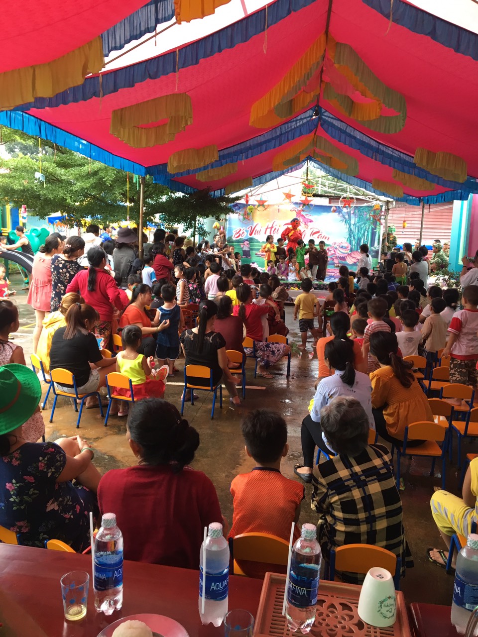
Thua Duc commune’s medical station periodically
gives vaccines to children.
Total population: 9,249 people.
The total number of households: 2,046.
Ethnic minority groups: Kinh groups account
for 82.6%, Chinese ethnic group accounts for 16%, and the rest are the Tay, Nung,
Khmer, Tho, Cham, and Chau ro; Catholics: 38.36%; Buddhists: 33.02%, and the
rest follow other religions, accounting for 28.62%.
Religions: Catholicism and Buddhism
+ Catholicism has 3 parishes: Thien Duc, Thua Duc
and Thua An.
+ Buddhism has 3 pagodas: Thua Duc; Bao Minh and
GuanYin.