1. Geographic location:
Phu Thanh commune is located in the west of Nhon
Trach district’s center and 10 km from the district’s center and has an area of
1,773.45 ha.
Phu Thanh’s total natural land is 1773.45 ha,
covering 4.32% of the district’s total land area.
+ Phu Thanh borders on Dai Phuoc commune, Nhon Trach
district, Dong Nai province to the north.
+ Phu Thanh borders on Vinh Thanh commune, Nhon
Trach district, Dong Nai province to the south
+ Phu Thanh borders on Phu Dong commune, Nhon Trach
district, Dong Nai province to the west.
+ Phu Thanh borders on Long Tan commune, Nhon Trach
district, Dong Nai province to the east.
2. Administrative unit:
Phu Thanh commune is divided into hamlets 1, 2, and
3.
3. Terrain:
Phu Thanh has a plain terrain with an average slope
of 2-4 meters; a relative altitude of 3 meters; and an absolute altitude of 4
meters.
4. Climate:
Phu Thanh commune is located in a monsoon climate
with two seasons.
Humidity: 75%.
Average temperature: 22-23 Celsius degrees.
+ Highest temperature: 39 Celsius degrees.
+ Lowest temperature: 18 Celsius degrees.
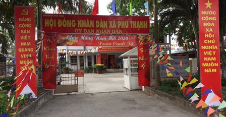
5. History and culture:
- The People’s Committee of Phu Thanh commune was
established on June 23, 1994.
6. Population:
Total population: 13,324 people.
- Total households: 3,742.
+ Ethnic groups: Kinh, Khmer, Chinese Vietnamese.
+ Religion: Caodaism, Buddhism, and Catholicism.

The Great Unity Festival