1. Geographic location:
It is located in the southeast of the center of Nhon
Trach district and about 10 km from the district’s center.
2. Natural land area:
The commune’s natural land area is approximately
14,756,7878 ha, accounting for 35.92% of the district’s land area.
Phuoc An commune belongs to Nhon Trach district and
its location and boundary is determined as follows:
- Phuoc An borders on Long Tan, Hiep Phuoc and Long
Tho communes, Nhon Trach district, Dong Nai province to the north.
- Phuoc An borders on Can Gio district, Ho Chi Minh
city across Dong Tranh river to the south.
- Phuoc An borders on My Xuan commune, Chau Thanh
district, Ba Ria - Vung Tau province to the east.
- Phuoc An borders on Vinh Thanh commune, Nhon Trach
district, Dong Nai province to the west.
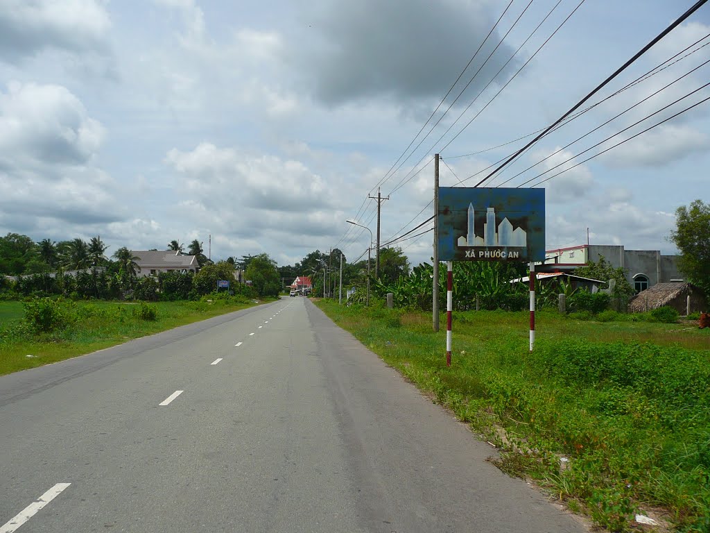
3. Administrative unit:
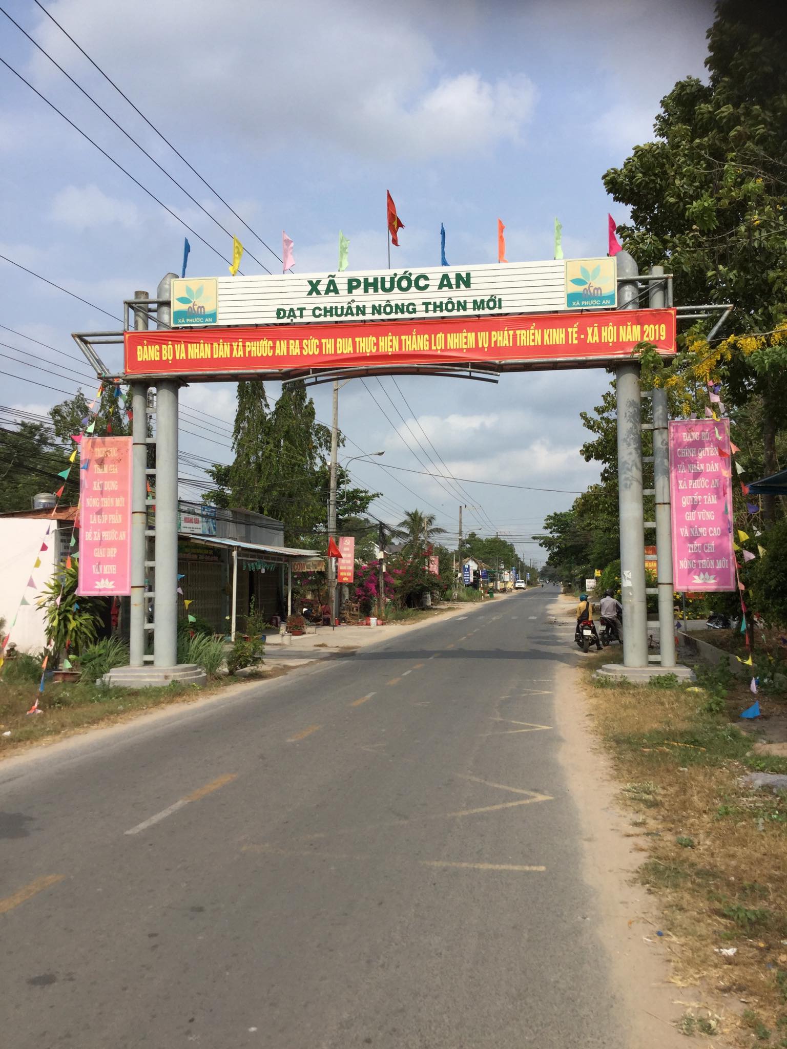
Phuoc An commune is divided into 4 hamlets Ba
Truong, Bau Bong, Vung Gam, and Quoi Thanh.
4. Terrain:
Phuoc An commune has many large rivers and streams
that are its natural boundary and also belong to Nhon Trach district. In
addition, it has a special-use forest with many small rivers and canals
connecting to big rivers such as Go Gia, Dong Tranh and Thi Vai rivers to the
southeast of the region.
5. Climate:
Phuoc An is located in a monsoon climate with two
seasons.
Humidity:
Average temperature: 26 Celsius degrees.
Highest temperature: 29 Celsius degrees.
Lowest temperature: 24 Celsius degrees.
6. Population:
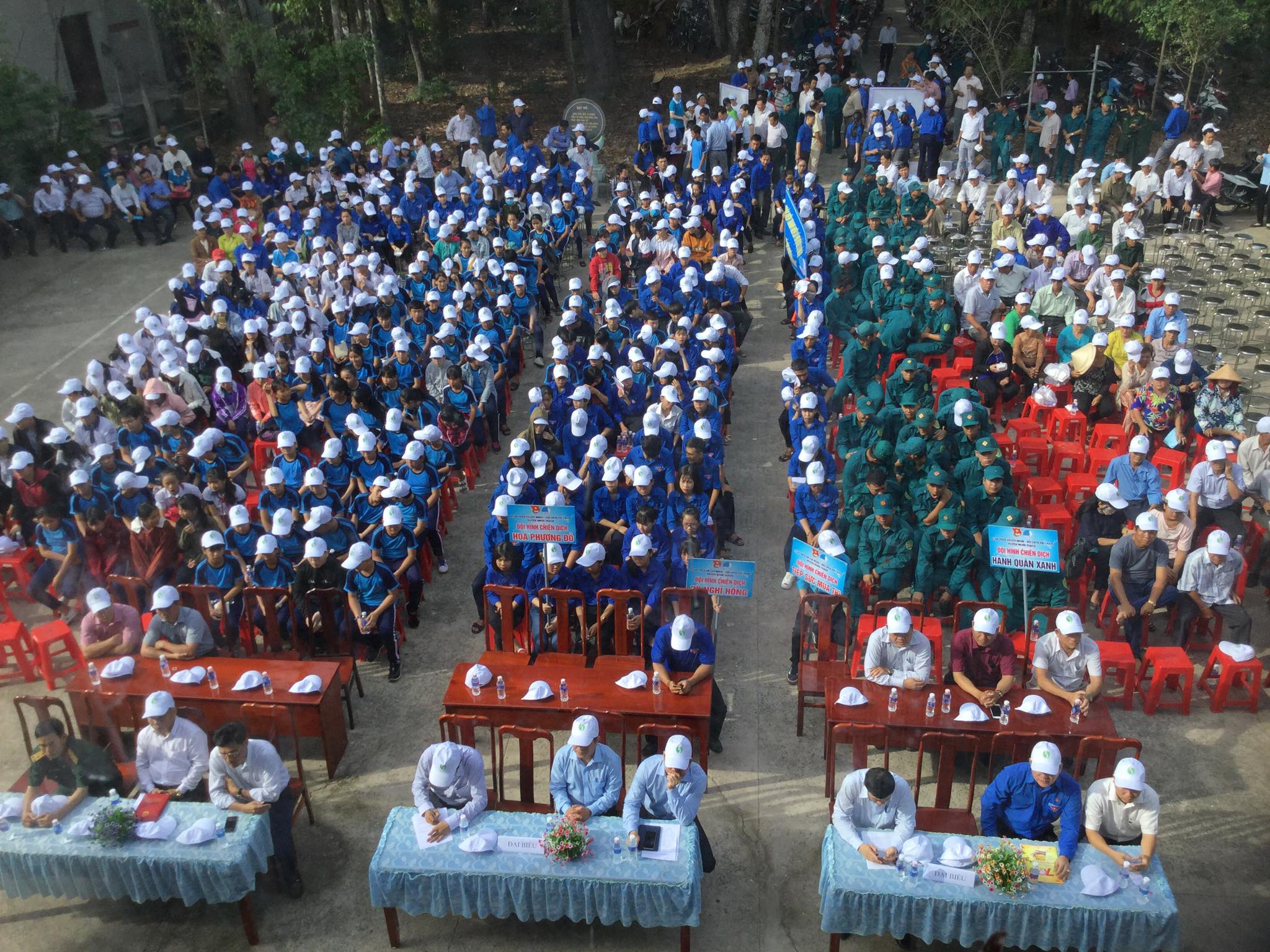
Total population: 12,067 people.
The total number of households: 3,344.
- Ethnic groups: Kinh, Khmer, Tay, and Chinese
Vietnamese.
- Religions: Caodaisim, Hoa Hao, Protestantism, and
Buddhism.